
Precision. Verified. On-Site.
Miyashiro Associates L.L.C. provides millimeter-accuracy land surveying and asset inspection across the Mid-Atlantic, bridging terrain to digital models with dedicated mobile ground-stations.
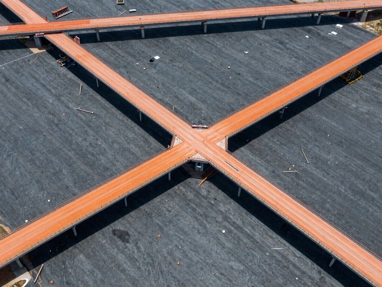
Licensed Experts. Specialized Fleet.
Licensed Professionals
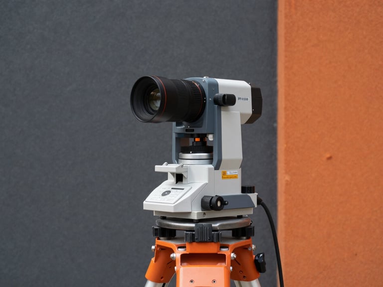
Our team comprises licensed field surveyors and GIS specialists, ensuring every project meets the highest standards of accuracy and regulatory compliance across the Mid-Atlantic corridor.
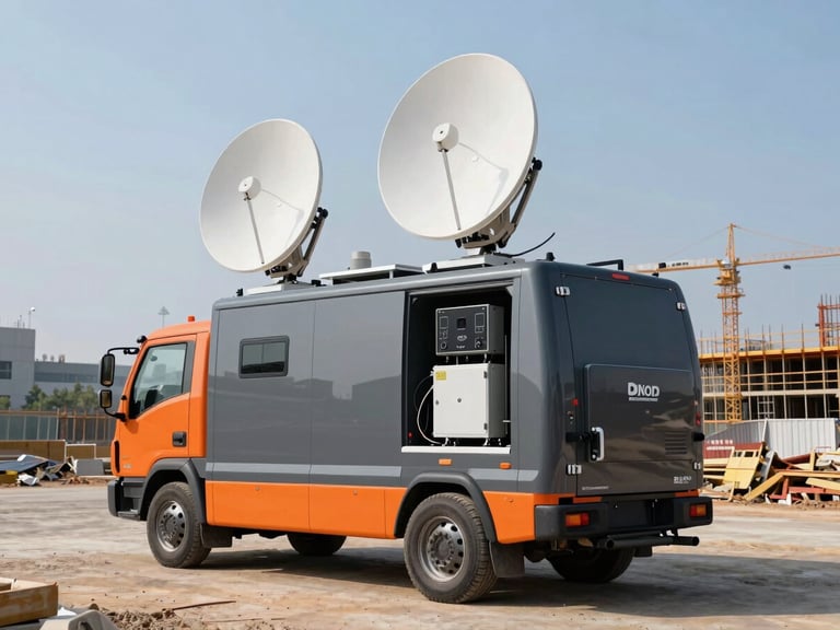
Mobile Ground-Stations
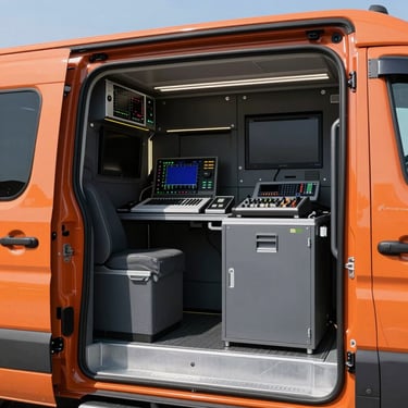
Equipped with advanced processing units, our dedicated fleet of mobile ground-stations enables real-time data verification and preliminary CAD model generation directly from the field.
Regional Operations
We operate extensively across Maryland, Virginia, and the wider Mid-Atlantic region, providing essential services to municipal agencies, commercial developers, and civil engineering firms.
Field-to-Finish Accuracy
On-Site Data Acquisition
Real-Time Verification
Rigorous Analysis
Certified Deliverables
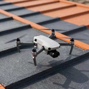
Deploying dual-frequency GNSS receivers and drone telemetry for comprehensive, millimeter-accuracy field data collection.
Processing preliminary CAD models directly from our mobile ground-stations for immediate accuracy checks and adjustments.
Detailed post-processing and quality assurance by licensed surveyors in our Rockville office, ensuring data integrity.
Providing certified spatial data and structural reports, ready for immediate integration into client projects and systems.
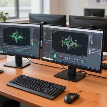
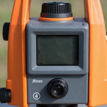
Tools and Terrain
A glimpse into our operational footprint, from advanced equipment to our dedicated office environment, showcasing our commitment to precision.
MIYASHIRO ASSOCIATES L.L.C.
Millimeter-accuracy on-site verification.
Sitemap
Home
About
Services
Contact
Rockville Office
MIYASHIRO ASSOCIATES L.L.C.
254 N WASHINGTON ST, APT 310, ROCKVILLE, MD, 20850, US
Phone: +17034026536
Email: admin@miyashiroassociates.com
© 2026 MIYASHIRO ASSOCIATES L.L.C.-Licensed land surveying and aerial mapping across the Mid-Atlantic corridor.
FIELD-TO-FINISH ACCURACY